Kuk Swamp
- Dated
- Place
- Near Mount Hagen, Western Highlands Province, Papua New Guinea · Farmers of the New Guinea highlands and their descendants, the Kawelka among them today
- Coordinates
- 5° 47′ S · 144° 20′ E (approximate)
- Remains
- Fragmentary
NASA/JPLPDMOriginal record
Data saver is on. Images load only when you ask. You can change this in Settings at any time.
From the archivist
In the highlands of New Guinea, high above the sea, a wide valley floor filled with water and reeds. People came to its edges thousands of years ago, and dug.
They were not hunting there. They were tending plants: taro, yams and bananas that grew wild in the forests of the island, and that they learned to encourage, to replant and to keep. Later they raised mounds in the wet ground so that roots would not drown. Later still, with wooden tools, they cut ditches that drew the water away, and the swamp became gardens.
For a long time the world believed that farming had been invented in only a few places, and then carried outward. The mud of Kuk says otherwise. Here, far from every other early field, people found their own way from gathering to growing, as early as almost anyone on Earth.
Today the valley is still cultivated. Beneath the gardens of the living, the ditches of the first gardeners remain, filled with the silt of seven thousand years.
Established
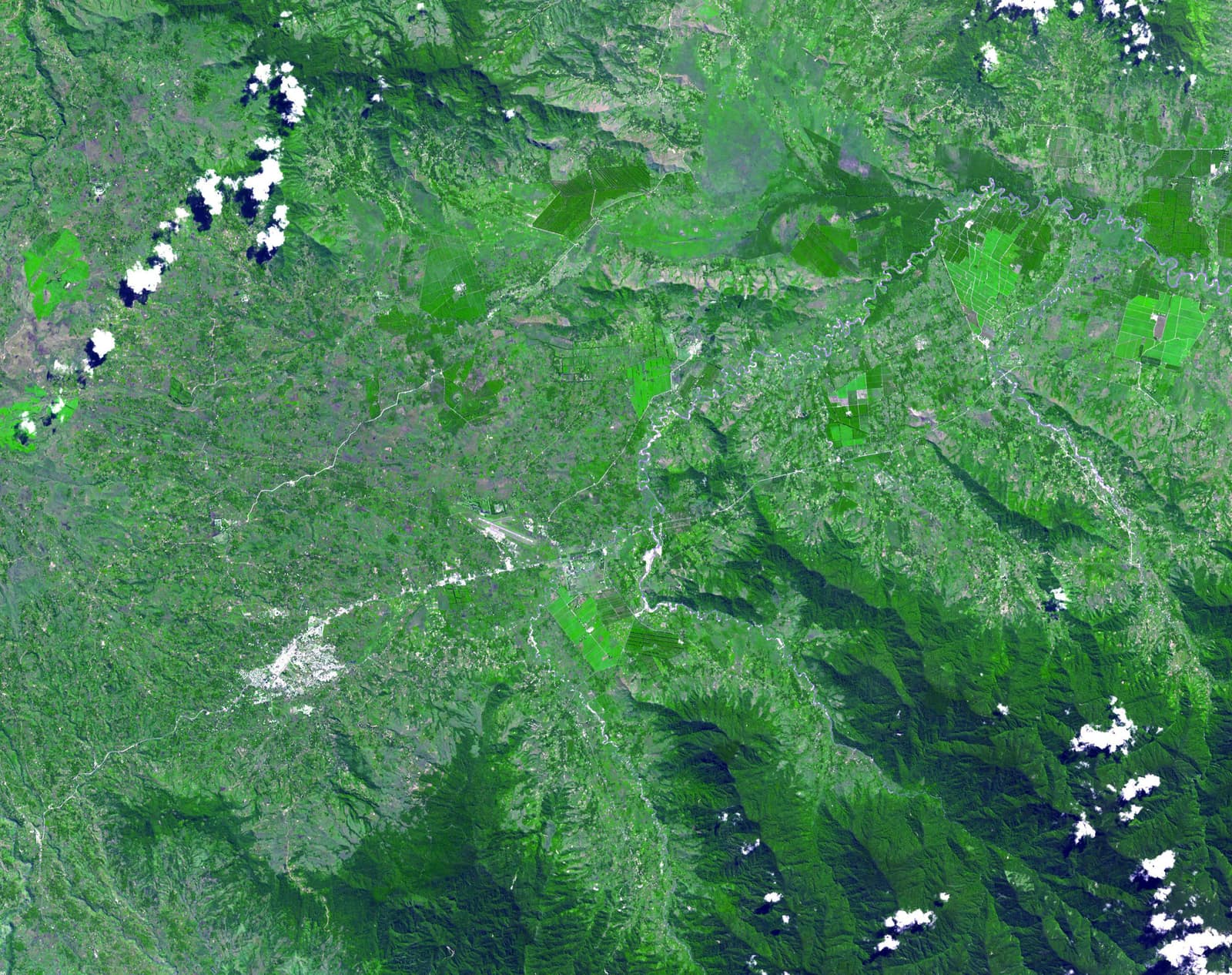
- The Kuk Early Agricultural Site, 116 hectares of swamp in the highlands of Papua New Guinea at about 1,500 metres above sea level, was inscribed on the UNESCO World Heritage List in 2008 (UNESCO; NASA JPL).
- Excavation shows a wetland worked almost continuously for 7,000 and possibly 10,000 years (UNESCO).
- Plant exploitation and some cultivation on the wetland margin date to about 10,220 to 9,910 years ago; mounded cultivation, including bananas, to at least 6,950 to 6,440 years ago; ditched drainage to at least 4,350 to 3,980 years ago (Denham et al. 2003).
- These results show that agriculture arose independently in New Guinea (Denham et al. 2003).
Interpretation
How early the first phase counts as true farming rather than tending of wild plants is debated, as are the exact roles of taro, yams and bananas at each stage. The finding that Kuk is independent of the farming centres of Asia is widely accepted.
In 10,000 years
In 10,000 years, will anyone look under a field and see the first gardeners of a valley?
Sources (3)
- UNESCO World Heritage Centre. Kuk Early Agricultural Site (property 887), inscribed 2008. · whc.unesco.org
- Denham, T. P., Haberle, S. G., Lentfer, C., Fullagar, R., Field, J., Therin, M., Porch, N., Winsborough, B. Origins of agriculture at Kuk Swamp in the highlands of New Guinea. Science 301 (5630), 2003, p. 189-193. · doi.org
- NASA Jet Propulsion Laboratory. Kuk, New Guinea (PIA13090), ASTER image acquired 7 May 2002. · www.jpl.nasa.gov