The rock-hewn churches of Lalibela
- Dated
- Place
- Lalibela, Amhara Region, Ethiopia · Christian kingdom of the Zagwe dynasty (Ethiopian Orthodox Tewahedo tradition)
- Coordinates
- 12° 02′ N · 39° 02′ E (approximate)
- Remains
- Intact
This fragment shows an object held as sacred.
It is shown here as the institution that holds it presents it. Some communities connected to it ask that it be viewed with care. You may choose to see the image, or read the record without it.
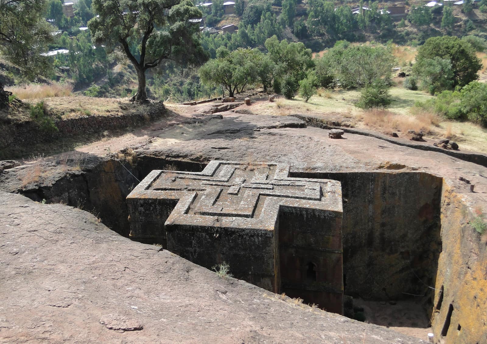

Image veiled by default
Bernard Gagnon, CC BY-SA 3.0, via Wikimedia CommonsCC-BY-SA-3.0Original record
Data saver is on. Images load only when you ask. You can change this in Settings at any time.
From the archivist
The builders of Lalibela did not raise their churches. They dug them out. Starting from the top of a hillside of soft red rock, they cut deep trenches around a block of stone, then hollowed the block from within: nave, pillars, windows, doors and arches, all one piece with the mountain.
The work is traditionally credited to King Lalibela, who reigned about eight hundred years ago over a Christian kingdom in the highlands of Ethiopia. The story is that he meant to build a new Jerusalem for those who could no longer make the journey to the Holy Land. A stream running through the site was named the Jordan.
Bete Giyorgis, dedicated to Saint George and said to be the last to be carved, stands alone in its pit, its roof carved as a cross, level with the ground around it. You see it only when you reach the edge.
Priests still serve in these churches, and each year at Christmas thousands of pilgrims dressed in white come to pray in the rock.
Established
- Eleven medieval monolithic churches at Lalibela, a thirteenth century 'New Jerusalem', were inscribed on the UNESCO World Heritage List in 1978 (UNESCO).
- Their building is traditionally attributed to King Lalibela of the Zagwe dynasty, who reigned about 1181 to 1221 and gave the town his name (UNESCO).
- The churches are carved from a sloping mass of red volcanic scoria over dark grey basalt and are joined by a maze of trenches, tunnels and passages opening onto hermits' caves and catacombs (UNESCO).
- The principal churches include Medhane Alem, Maryam, Amanuel, Giyorgis and Golgotha-Mikael; Lalibela remains a high place of Ethiopian Christianity and of pilgrimage (UNESCO).
Interpretation
Tradition credits King Lalibela with carving all eleven churches, some say with the help of angels. Archaeologists such as David Phillipson argue that some were first cut earlier, perhaps as fortifications or palaces, and converted into churches later; how many phases of work there were, and over how long, is still debated.
In 10,000 years
In 10,000 years, will anyone still walk down into this rock to pray, or only to wonder how it was done?
Sources (3)
- UNESCO World Heritage Centre. Rock-Hewn Churches, Lalibela (property 18), inscribed 1978. · whc.unesco.org
- Phillipson, D. W. Ancient Churches of Ethiopia: Fourth to Fourteenth Centuries. New Haven, Yale University Press, 2009.
- Bosc-Tiessé, C., Derat, M.-L. (dir.). Lalibela, site rupestre chrétien d'Éthiopie. Toulouse, Presses universitaires du Midi, 2019. · shs.hal.science
Related fragments
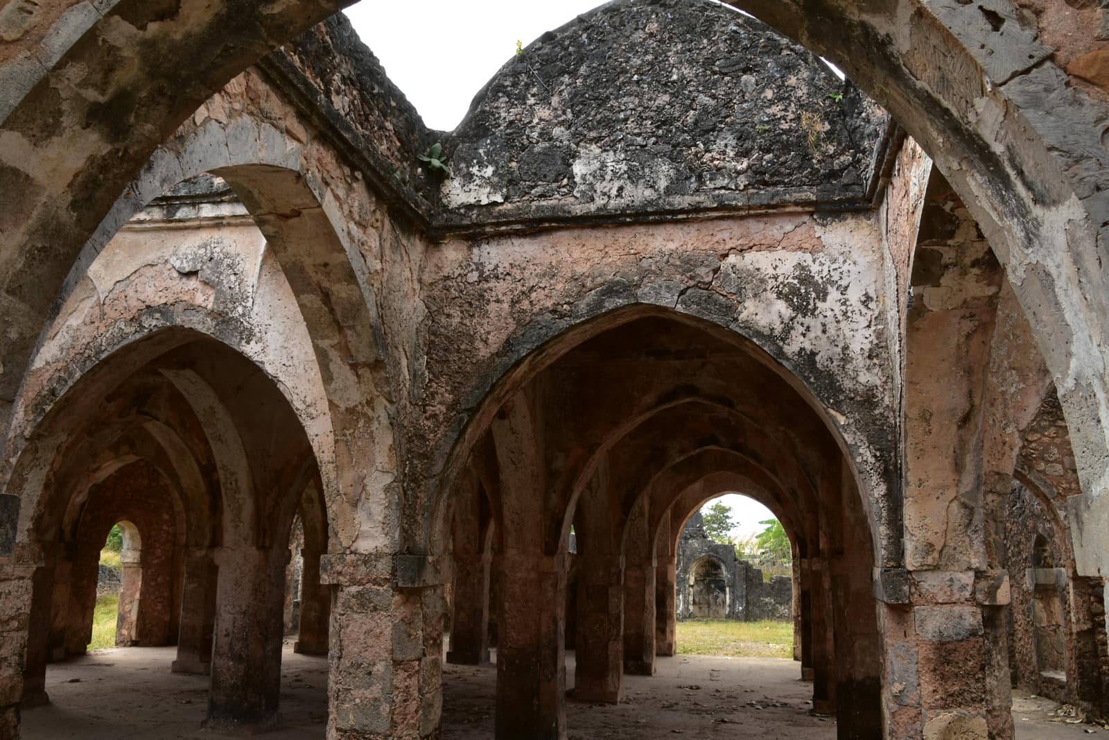
1000 to 1350 CE
The Great Mosque of Kilwa
Kilwa Kisiwani island, Lindi Region, Tanzania · Africa
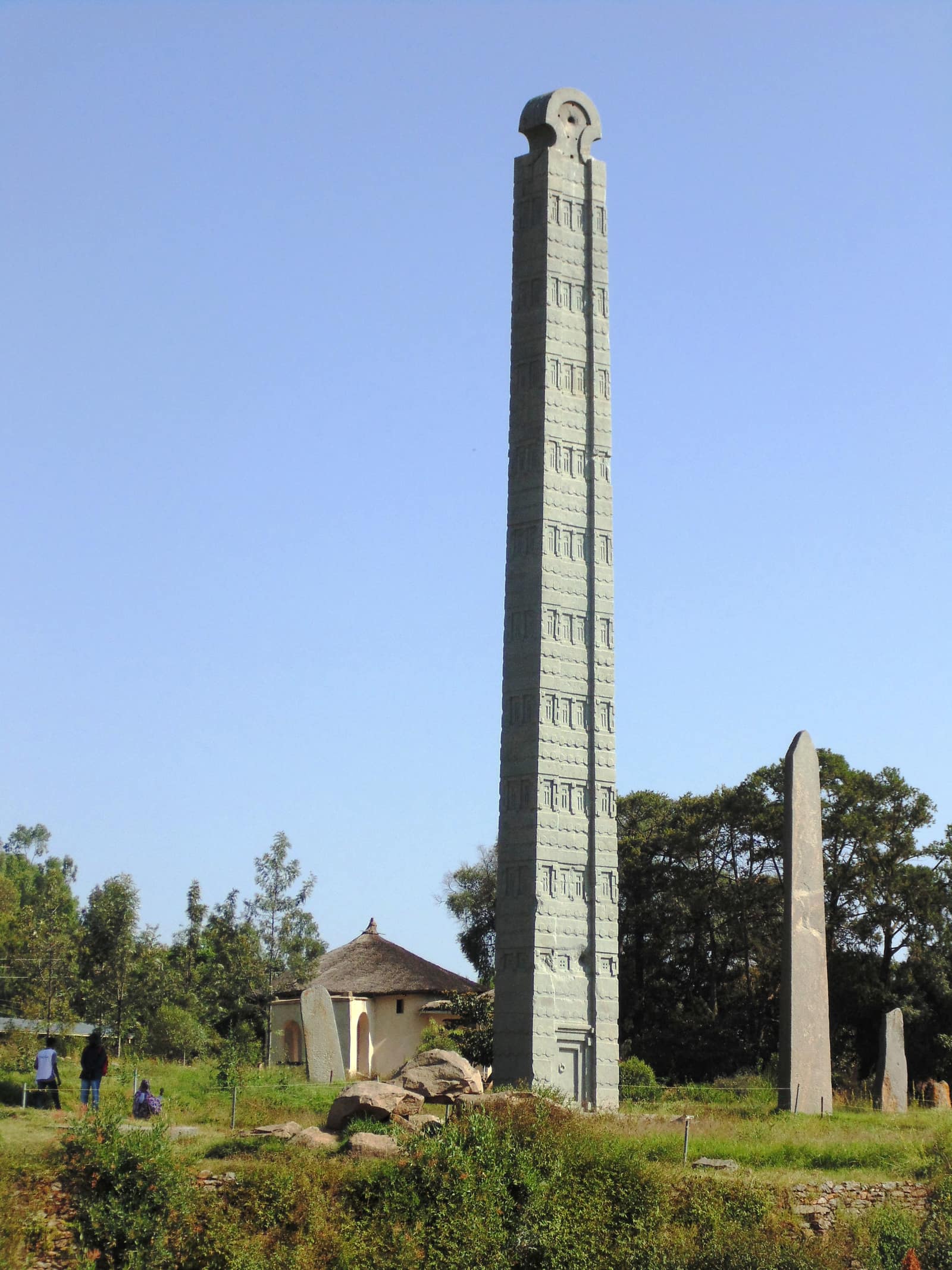
c. 300 CE
The Obelisk of Aksum
Aksum, Tigray, Ethiopia · Africa